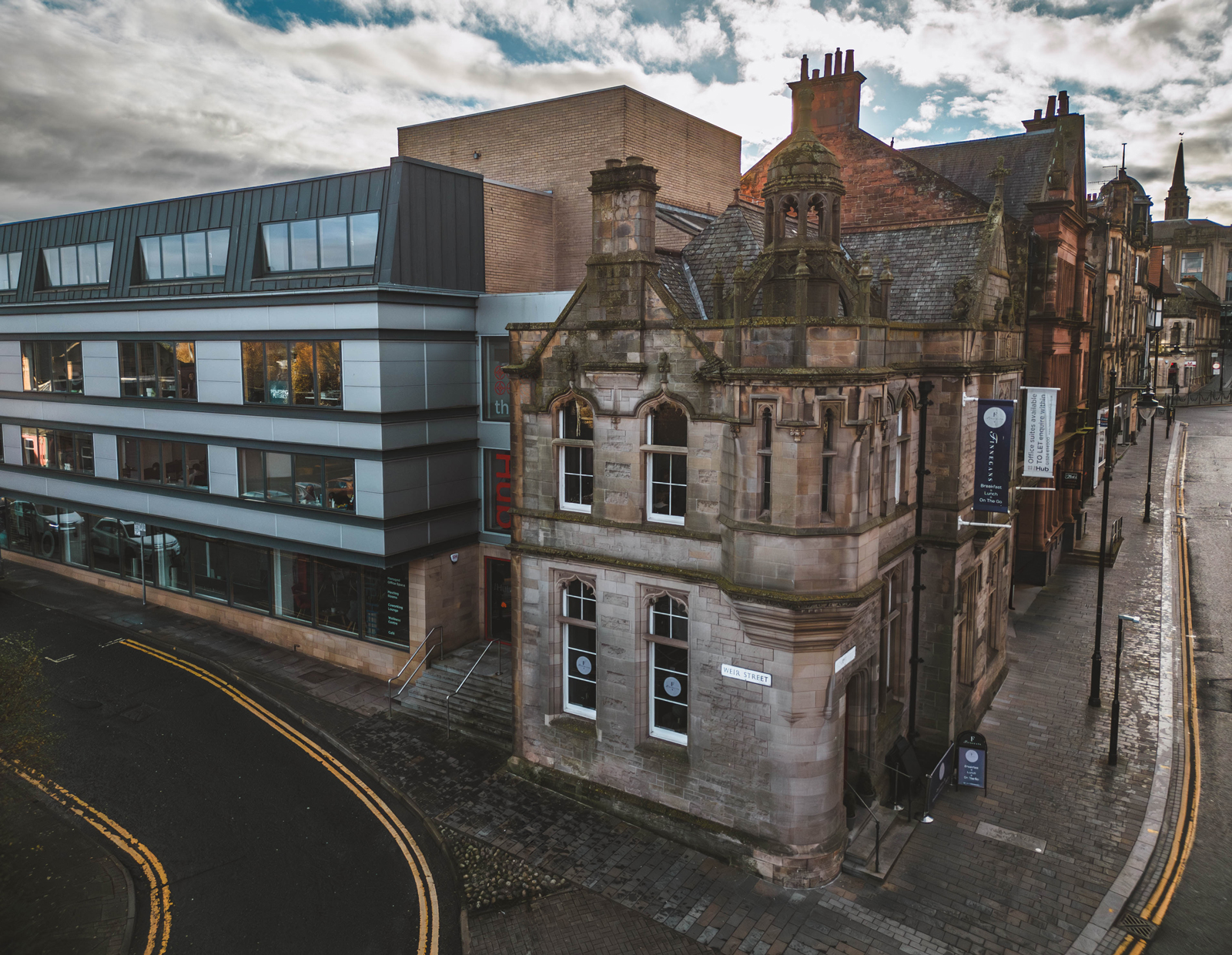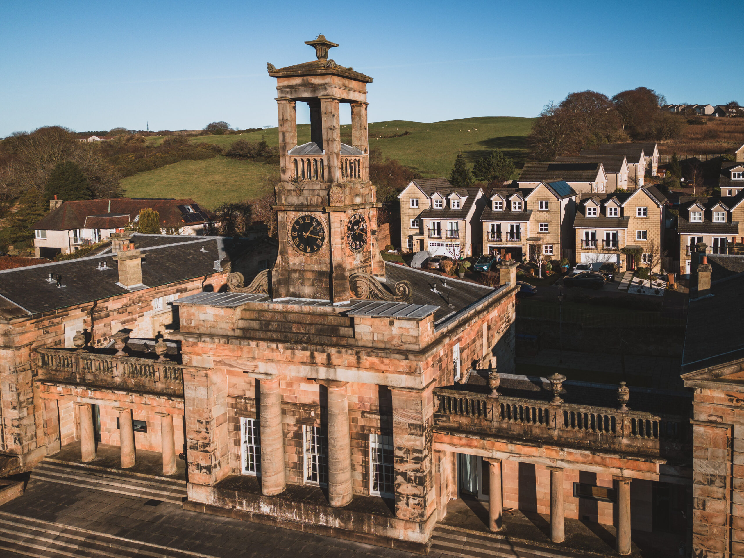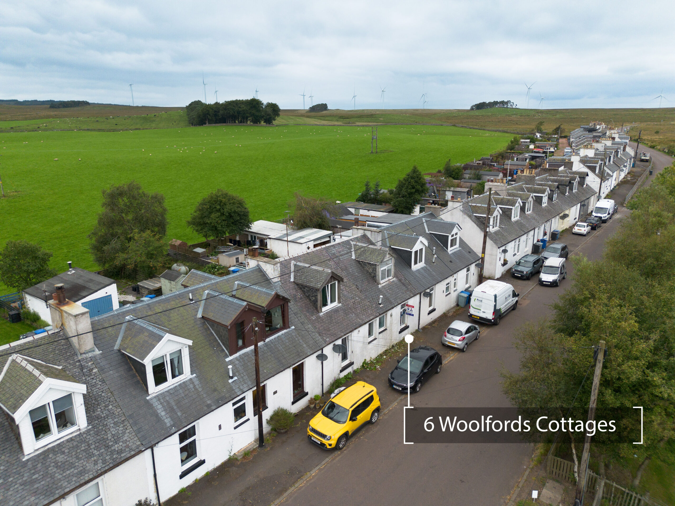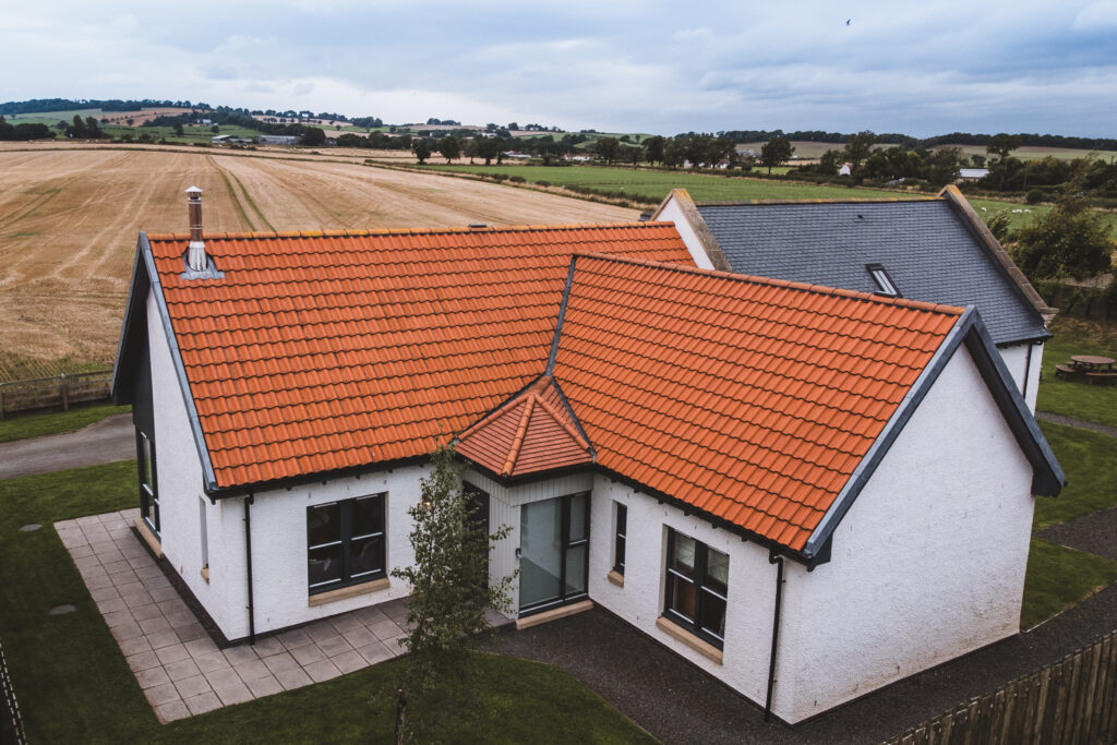
I offer high-quality aerial photos and cinematic video tours to help estate agents and private sellers present their properties in the best light. Boundary and plot overlays clearly show land or garden layouts, while rural and land photography captures the full scale of larger estates and countryside properties.
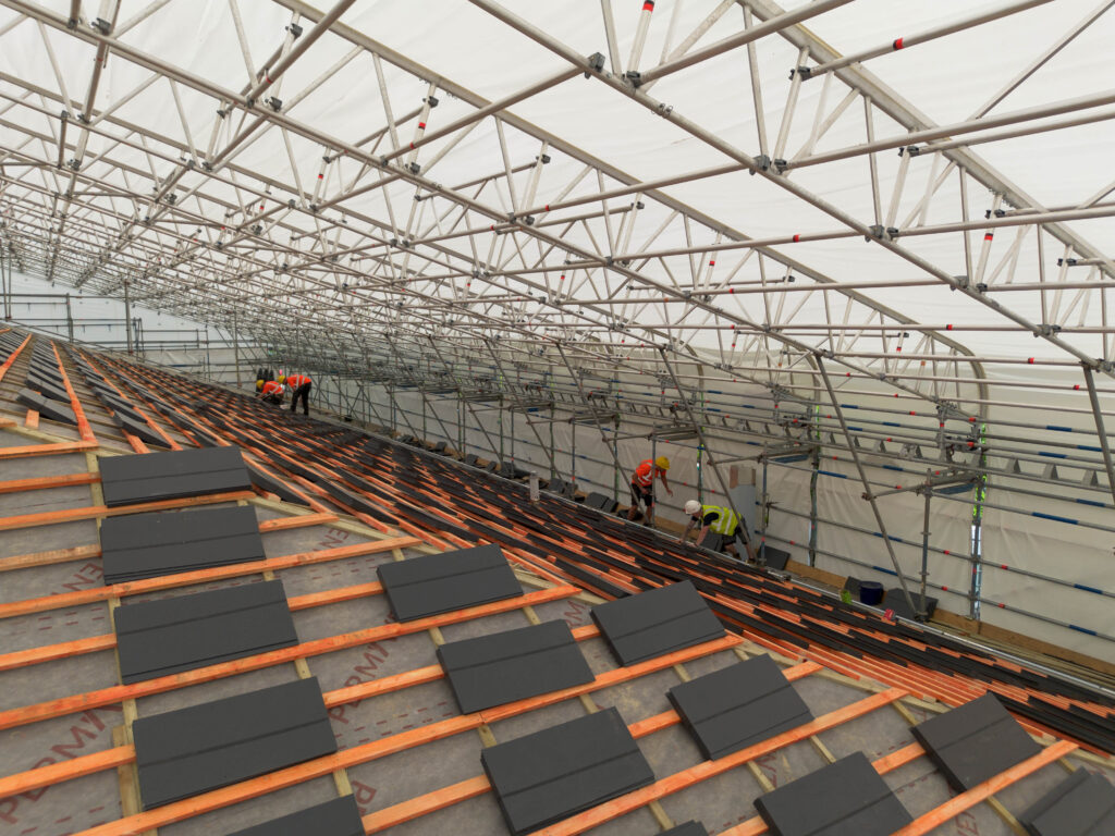
Drone inspections make it safe and easy to assess roofs and buildings. I provide detailed photo and video coverage, including chimney and roofline checks, and can supply imagery for insurance documentation or pre-inspection reports.
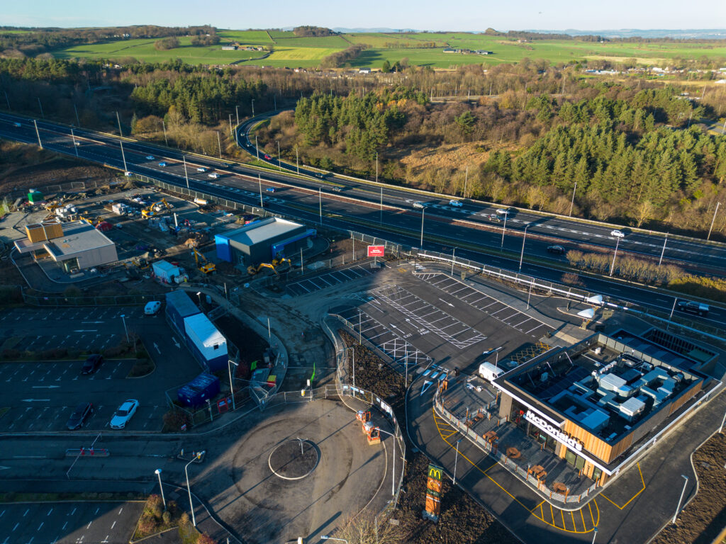
Keep projects on track with aerial documentation. I provide regular progress photos, completion imagery, and top-down site mapping, as well as commercial property imaging to showcase office, retail, or industrial sites.
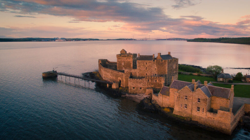
Elevate your brand with stunning aerial marketing videos. From business promo clips and social media content to venue fly-throughs and event coverage, I create visuals that engage audiences and help your business stand out.
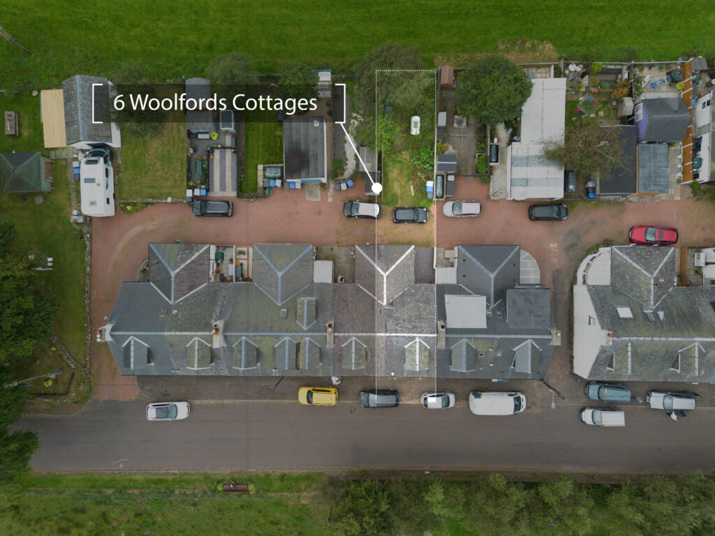
I provide aerial surveys and photography for farms, estates, and rural land. Services include top-down mapping, land overview images, boundary graphics, and general farm or field imagery for planning, marketing, or monitoring purposes.
For specialised projects, I offer 3D mapping and photogrammetry to produce accurate models and maps, as well as thermal imaging for building inspections, energy audits, or agricultural assessments.