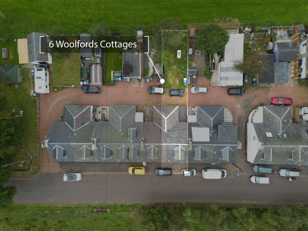
High-resolution orthographic (straight-down) images for planning, documentation, or mapping projects.
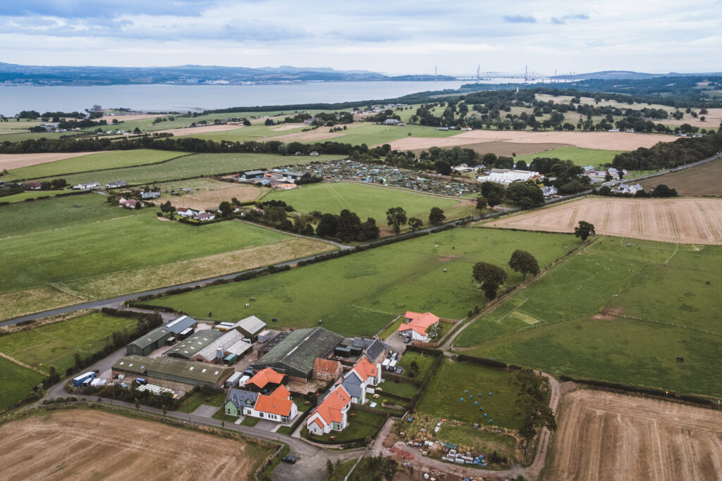
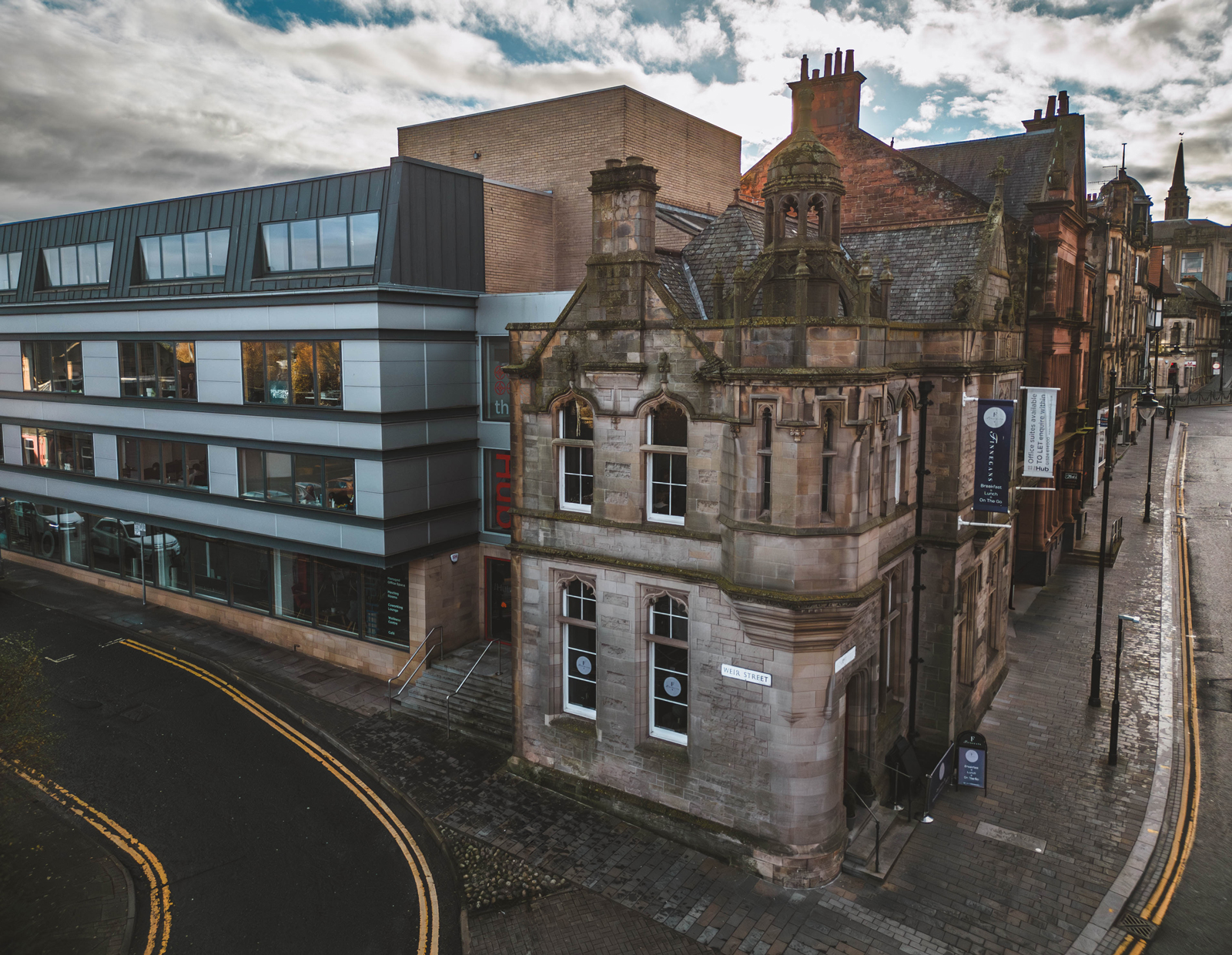
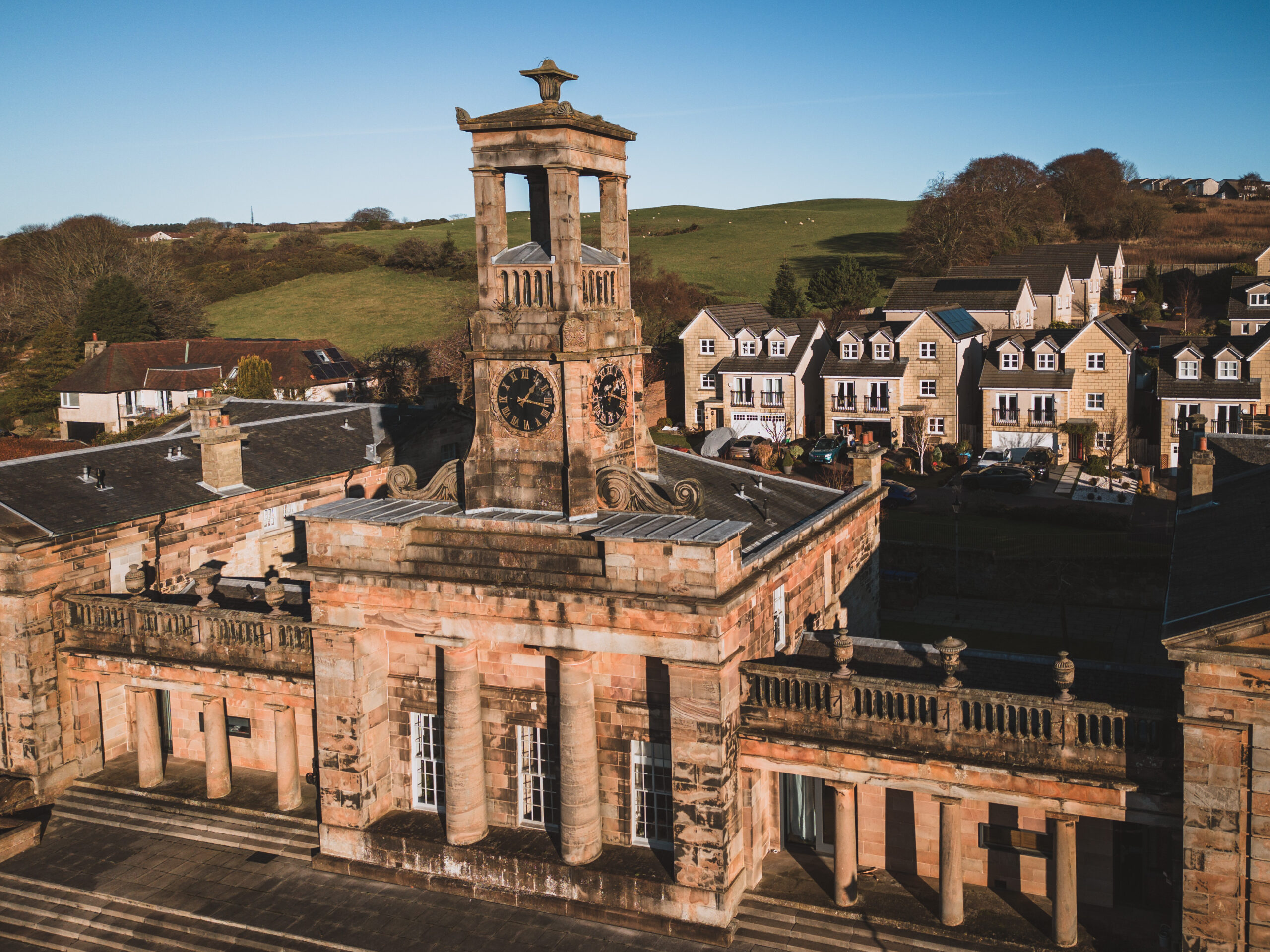
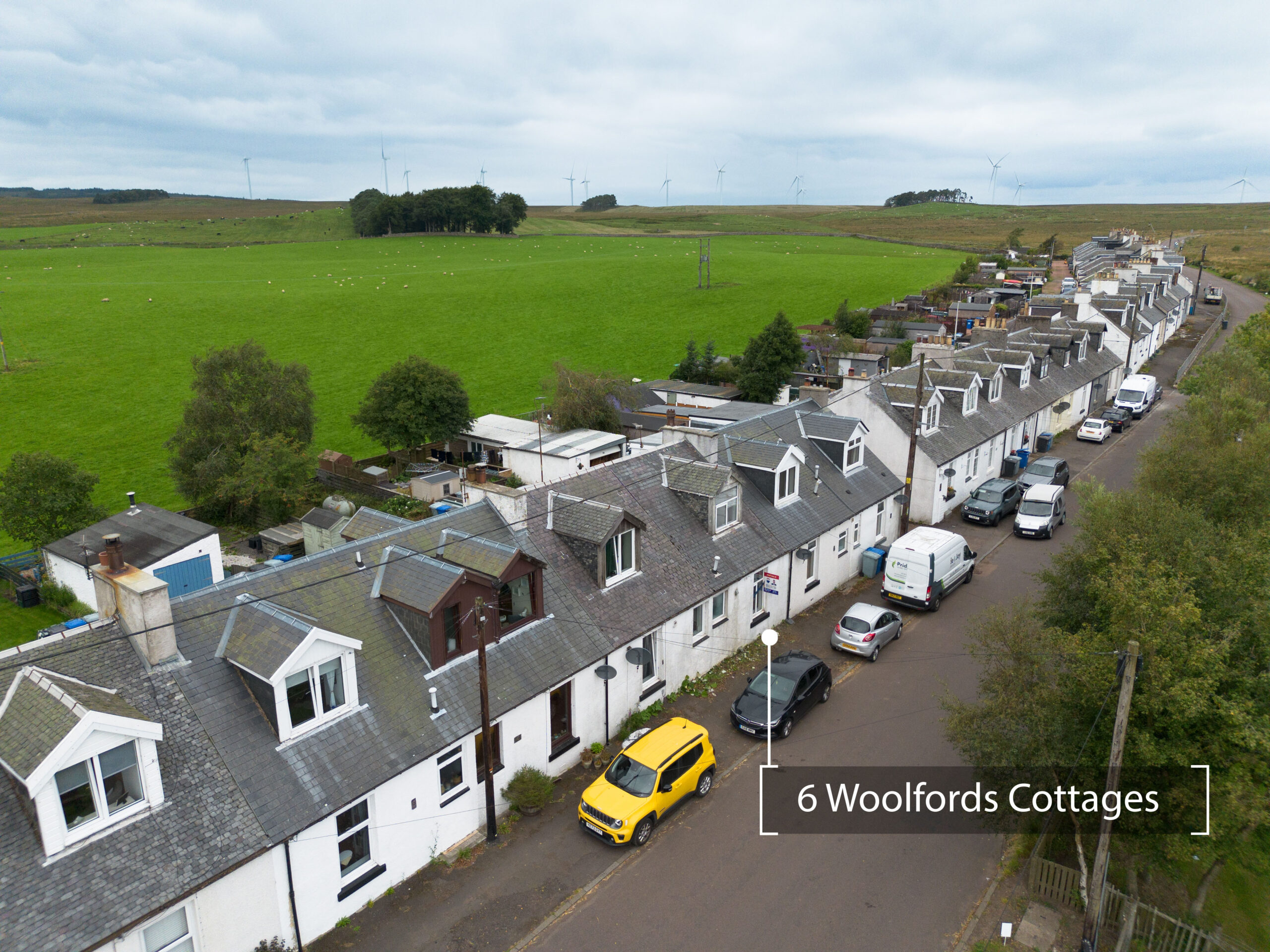
Wide-angle aerial shots showing fields, paddocks, access roads, drainage areas, and overall estate layout.
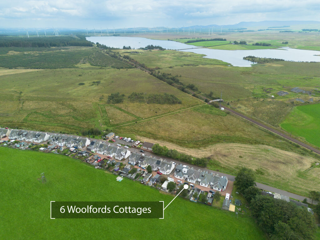
Clear visual boundary overlays to support sales, disputes, planning applications, or land records.
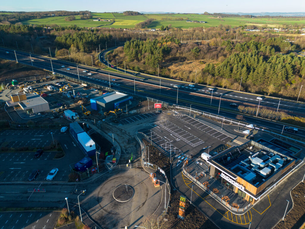
Crop overviews, livestock coverage, field conditions, drainage inspections, and general estate monitoring.