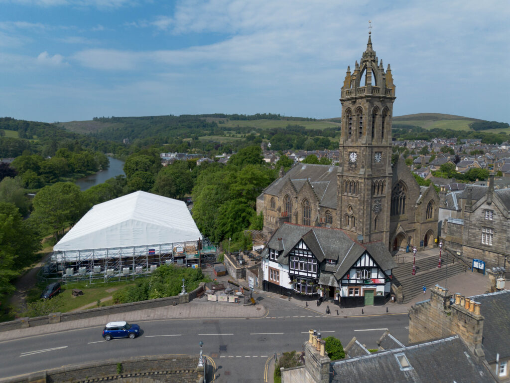
Regular aerial progress updates for contractors and stakeholders, ideal for monthly reporting or site meetings.

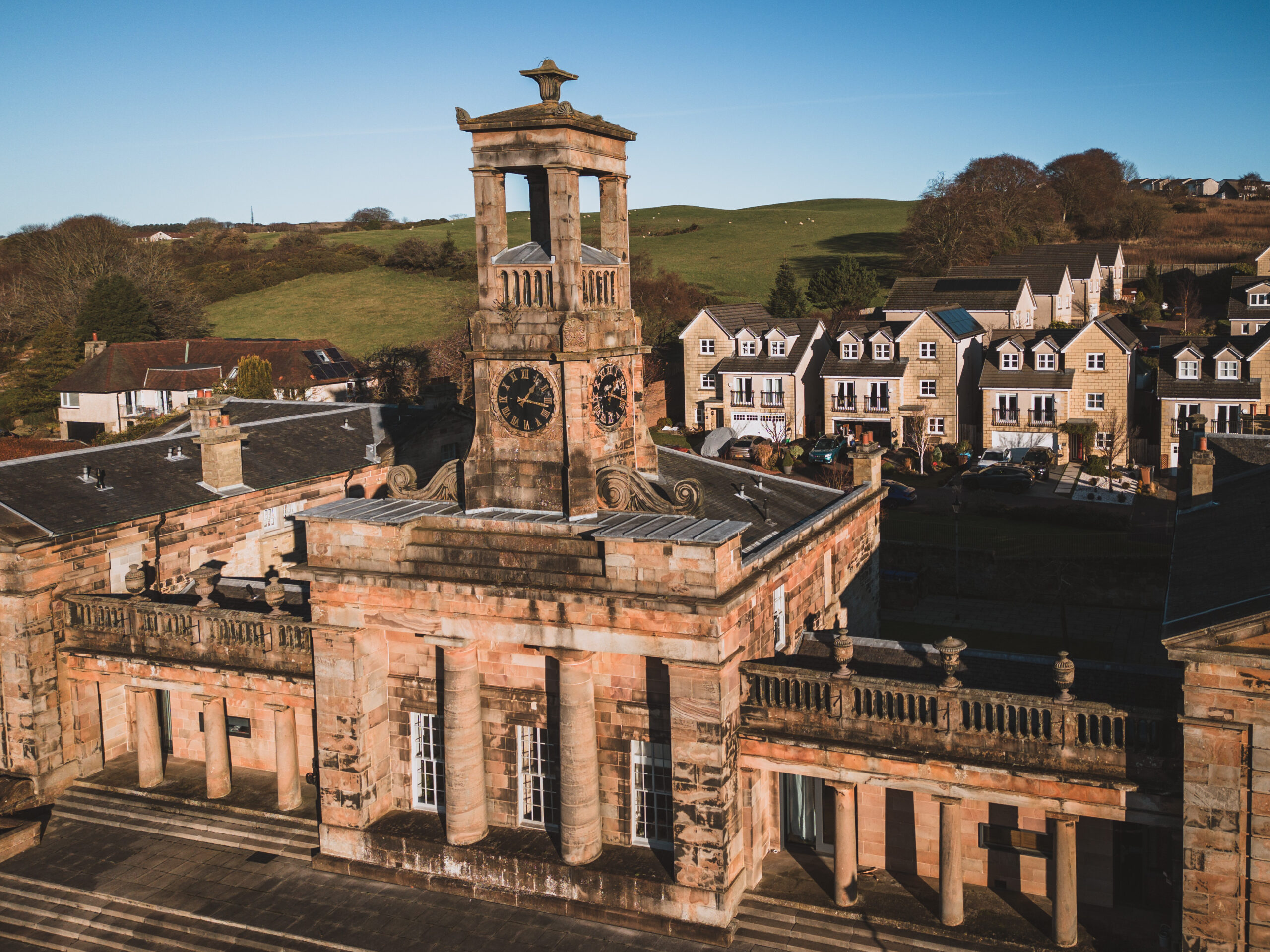
High-quality photo and video packages showing completed builds from every angle, perfect for handover packs and marketing material.
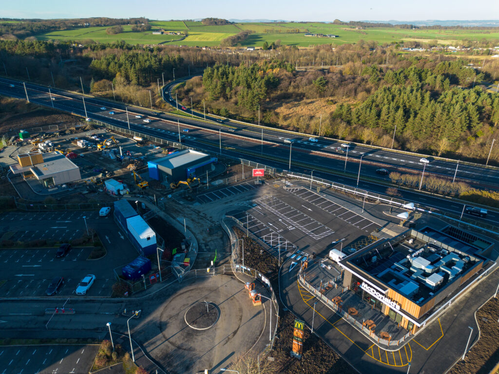
Top-down imagery with optional stitching for large construction areas, helping with planning, monitoring, and documentation.
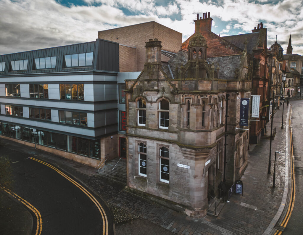
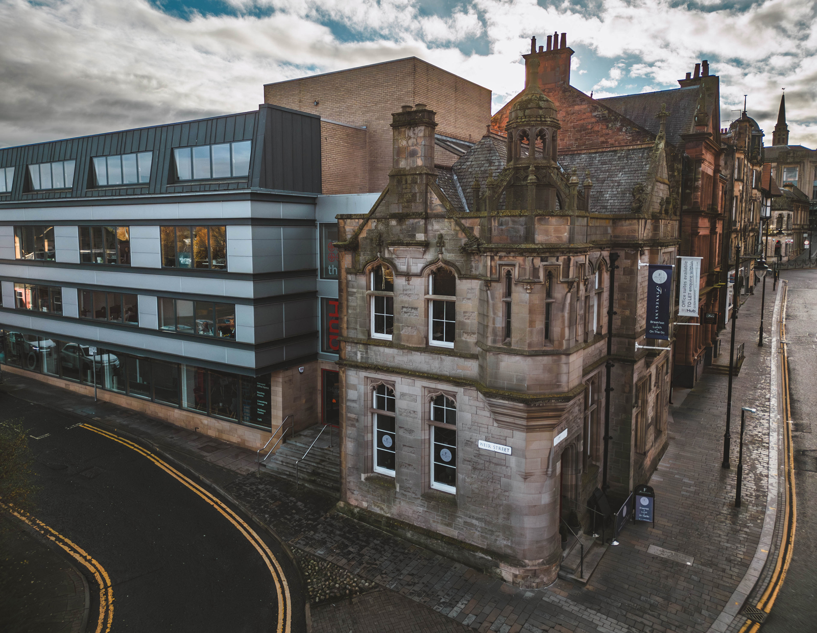
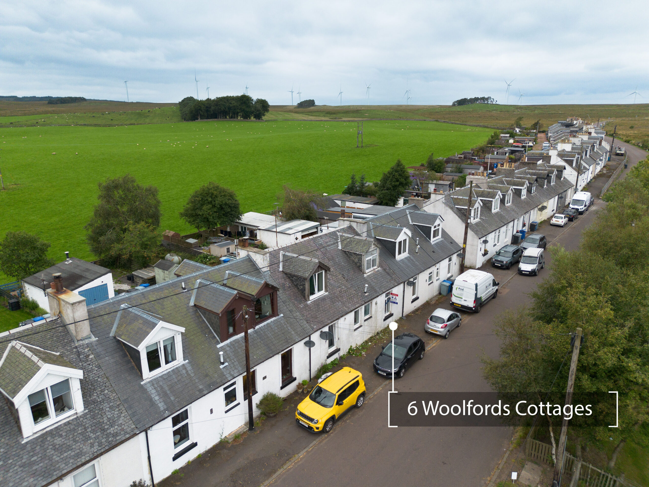
Elevated photos and videos that present commercial sites, units, and buildings in their best light.