Land, Agricultural & Rural Drone Services

Aerial Imaging for Farms, Rural Estates & Landowners

Drone photography is an invaluable tool for agricultural operations, estate management, and rural land planning.

Our Land, Agricultural & Rural Drone Services

We provide a full range of services tailored for the local market: 

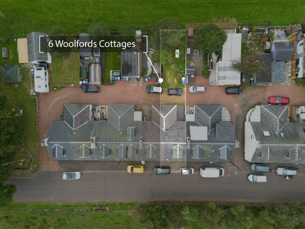
aerial image highlighting plot boundaries for rural property

Top-Down Mapping

High-resolution orthographic (straight-down) images for planning, documentation, or mapping projects.
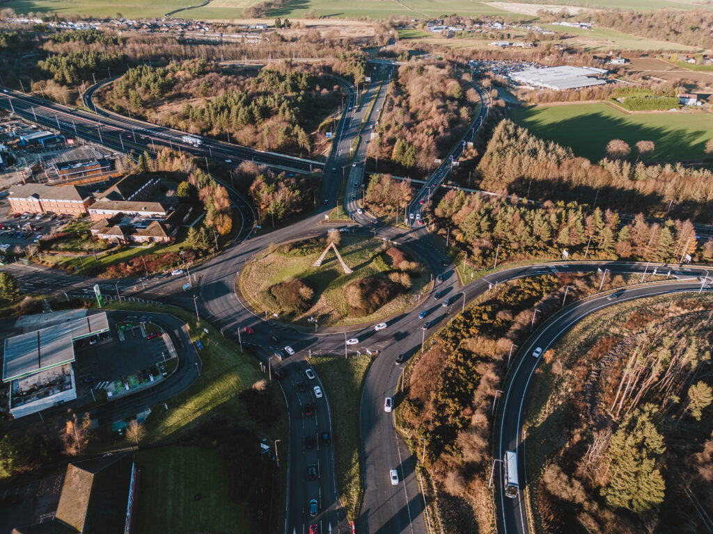
Land Overview Photos

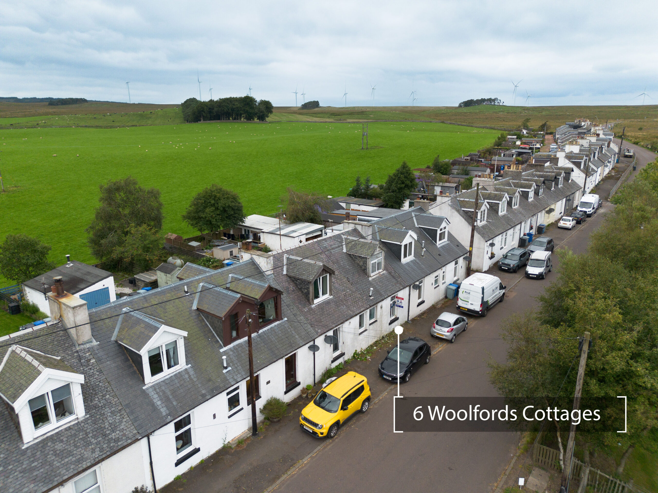
Wide-angle aerial shots showing fields, paddocks, access roads, drainage areas, and overall estate layout.
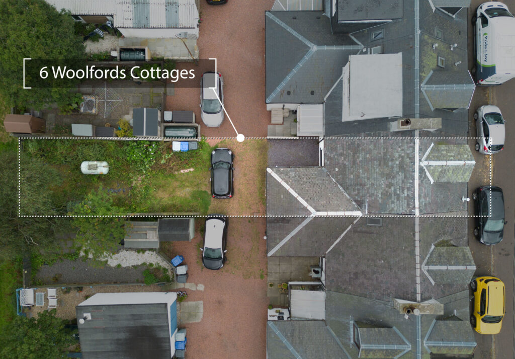
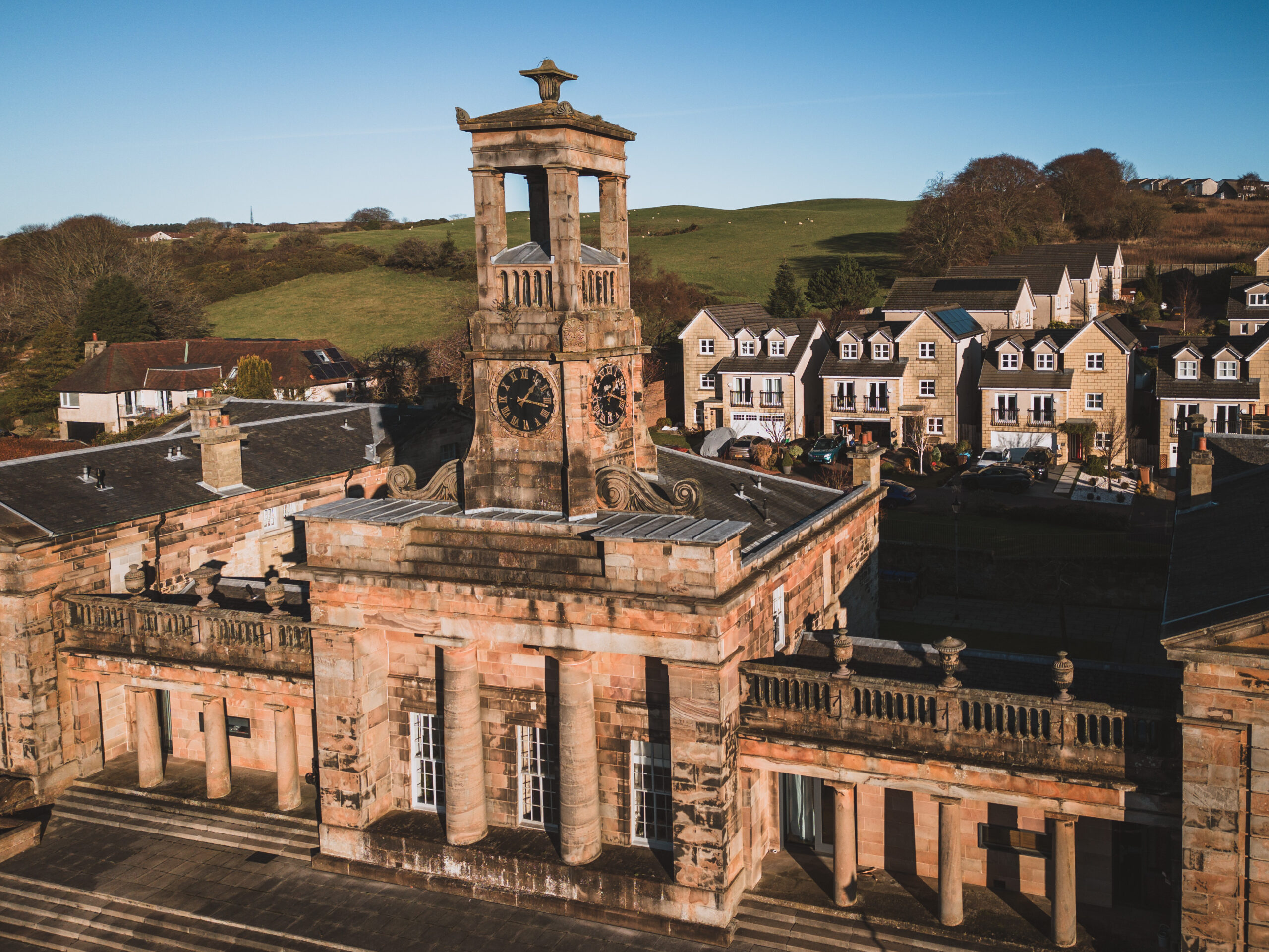
drone shot showing house roof and garden layout

Boundary Graphics

Clear visual boundary overlays to support sales, disputes, planning applications, or land records.
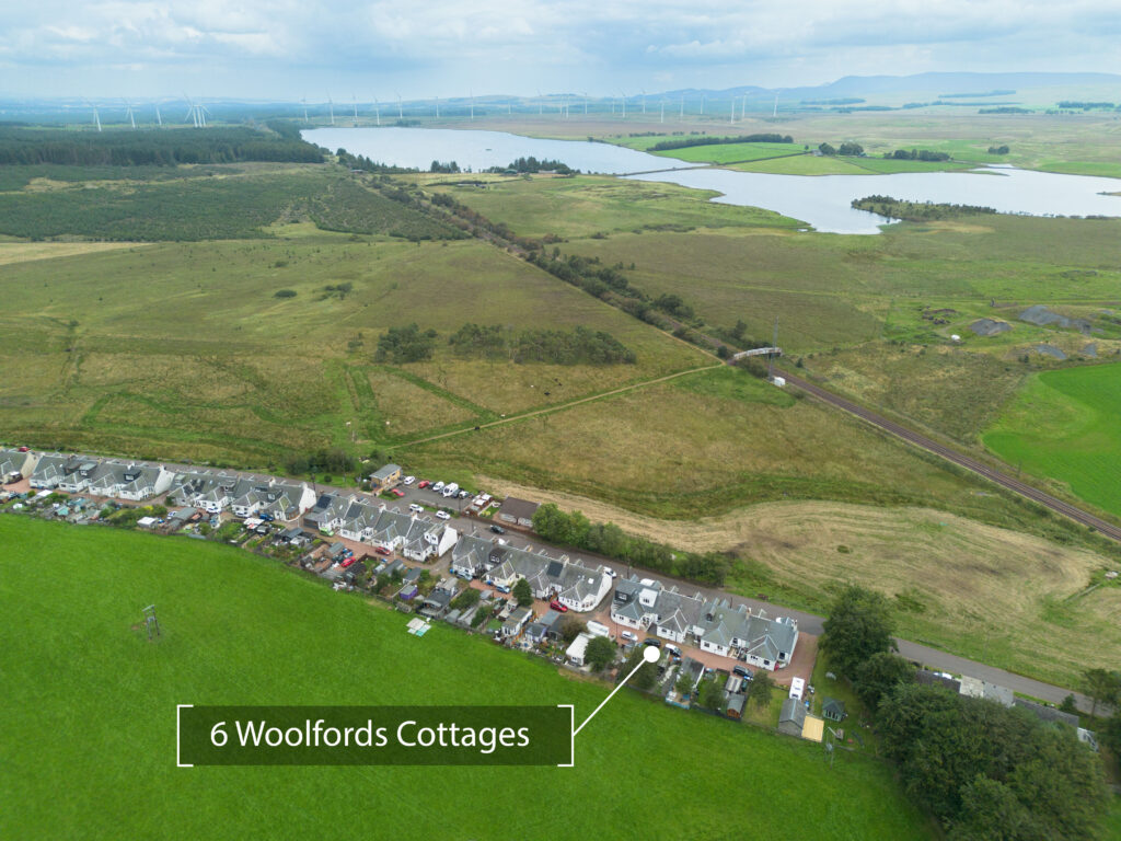
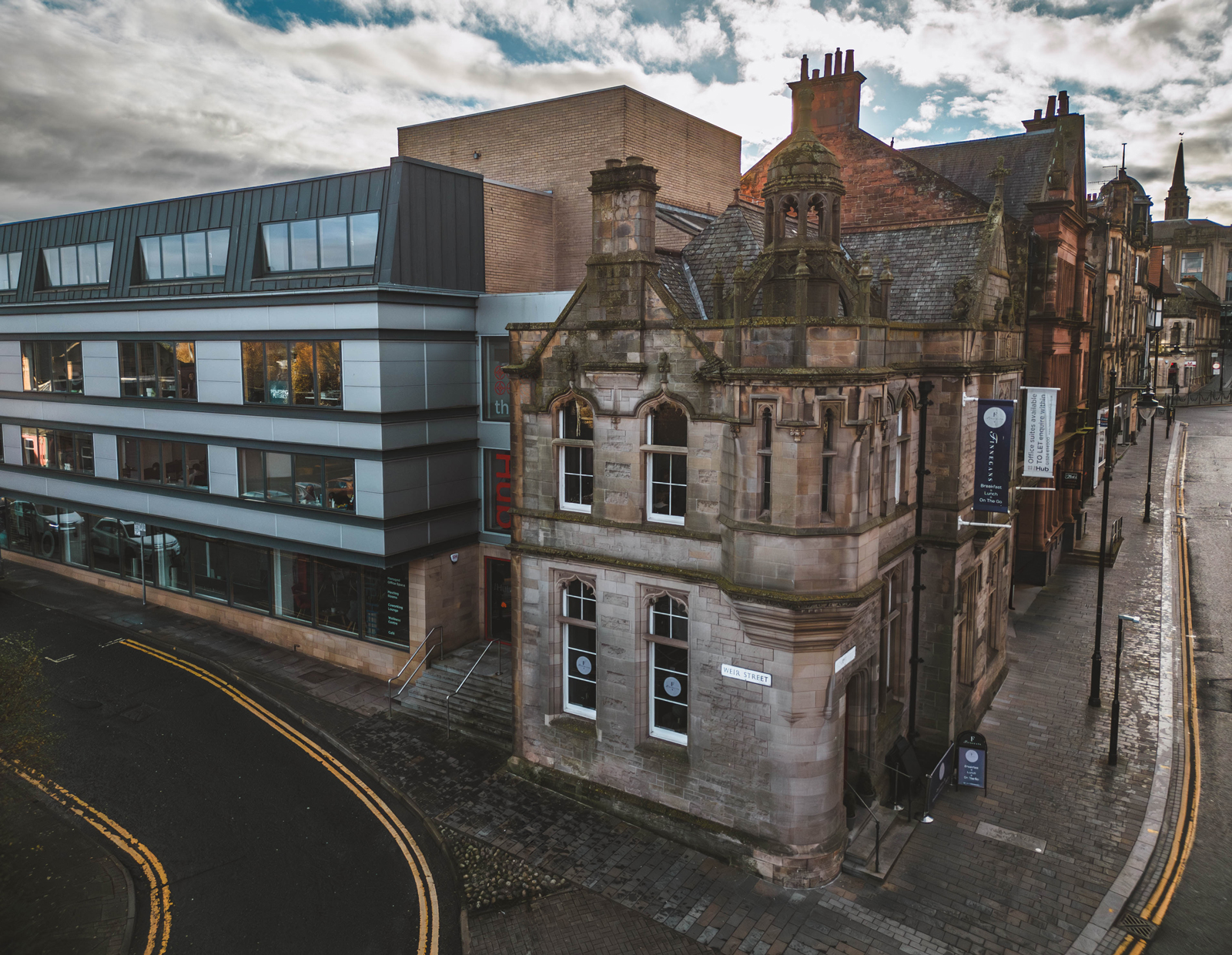
property drone photography for estate agents in Scotland

Farm & Field Imagery

Crop overviews, livestock coverage, field conditions, drainage inspections, and general estate monitoring.

Book Your Shoot


Contact us online to schedule a shoot today.